February 27th, 2025 by Joaquin Chaves, NASA’s Goddard Space Flight Center
Source: earthobservatory.nasa.gov/
The last time I saw the small promontory off Herradura Bay in the Gulf of Nicoya, it was 31 years ago aboard the German research vessel Victor Hensen, named after the pioneer 19th-century German marine scientist who devised some of the earliest tools to investigate the biology of the smallest oceanic organisms, the plankton. In 1994, as a 25-year-old marine biology graduate from the Universidad Nacional de Costa Rica (UNA), I was fortunate to be selected to represent UNA on a joint expedition with the University of Costa Rica (UCR) and a German marine research institute. It was a rare opportunity to conduct research aboard a state-of-the-art vessel off the coast of my own country.
That evening, three decades ago, we anchored off Herradura Bay for an “anchor station” to study how the Gulf of Nicoya exchanges water and nutrients with the Eastern Tropical Pacific Ocean. The Gulf sits at the convergence of the Cocos and Caribbean tectonic plates, where oceanic waters mix with riverine waters. As the Cocos Plate slowly subducts beneath the Caribbean Plate, it shapes the land and seascapes that influence the climate and ecology of Central America.
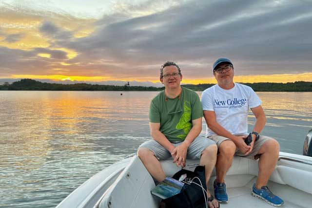
Recently, I returned to the Pacific coast of Costa Rica for another international expedition, this time with NASA’s Goddard Space Flight Center (GSFC) Ocean Ecology Laboratory’s Field Support Group (FSG). For the past 15 years, I’ve worked with the FSG as a contract scientist, supporting NASA’s mission to collect and distribute data from satellites that measure ocean color. These data provide valuable insights into the biological components of the ocean, which can help scientists, policymakers, and resource managers better understand ocean ecosystems.
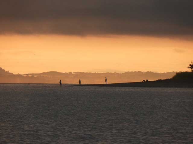
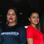
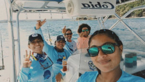
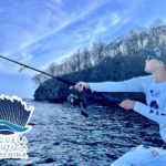
Photo courtesy of FECOP.
Our hosts for this expedition are scientists and policy specialists from Costa Rica’s Fishing Federation (FECOP), led by Dr. Marina Marrari, an energetic Argentinian oceanographer based in Costa Rica and former postdoctoral fellow at NASA’s Ocean Ecology Laboratory. Our mission is part of a collaboration under the Airborne Validation: Unified Experiment Land to Ocean field effort, which seeks to calibrate a new class of space-borne imagers for tropical vegetation and ocean research. But this collaboration with Dr. Marrari began many years ago, when she became part of an early adopter project for NASA’s latest ocean color satellite mission: the Plankton, Aerosols, Clouds, ocean Ecosystems (PACE) mission. PACE is part of this new class of spaceborne imagers that gathers data from well over 200 wavelengths, providing new insights into how the Earth system works and, in particular, on ocean biology, including phytoplankton—the foundation of the marine food web. These plant-like organisms produce about half of the world’s oxygen and fuel the marine food chain.
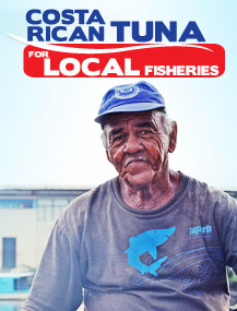
FECOP’s work intersects with NASA’s objectives in studying the rich pelagic biodiversity off Costa Rica’s Pacific coast. These waters support regional fisheries and a growing sportfishing industry that draws thousands of tourists each year. According to FECOP, sportfishing contributes over 2 percent to Costa Rica’s GDP—comparable in relative terms to the entire construction sector in the U.S. in 2024.
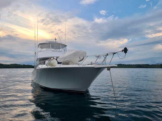
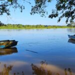
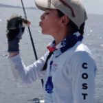
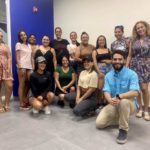
Photo courtesy of FECOP.
For NASA, this expedition offers a chance to validate and improve satellite measurements in a region with unique optical characteristics. The algorithms NASA uses to estimate biological parameters, like chlorophyll, rely on data from across the globe but may not be suitable, for example, for detecting harmful algal blooms (HABs or “red tides”) in specific regions, like the Gulf of Nicoya in the central Pacific side of Costa Rica. Water color is influenced by various factors, and a particular optical signal can indicate different biological or chemical processes in different regions.
Local scientists from UNA and UCR participating in the expedition play a critical role in enriching our measurements. A key focus is understanding regional phytoplankton, especially those that can cause HABs, which pose risks to public health and local economies. By refining satellite data with local expertise, we hope that our measurements can lead to region-specific algorithms for early warning systems that can detect HABs and alert authorities.
NASA’s data have already proven invaluable for sportfishing enthusiasts. Satellite information on surface ocean temperature, chlorophyll, and other oceanic parameters has been integrated into PezCA, a mobile app developed by FECOP, helping fishermen forecast fish catches and potentially reducing fuel costs while maximizing the value of Costa Rica’s tourist sector.
Costa Rica is internationally recognized for its sustainable tourism and biodiversity conservation efforts. Now, with the help of spaceborne sensors capturing oceanic data, the country can extend these efforts to its vast territorial waters, which are 10 times larger than its landmass.
Returning to the coast of Central America, the same waters that first sparked my scientific journey, has been an emotional homecoming. Reconnecting with old colleagues, witnessing the growth of a new generation of talented scientists and policymakers, and being part of this expedition has been a truly colorful experience. This journey is a reminder of the vital, enduring connections between science, the collaborative efforts of local communities, and multidisciplinary researchers working together to protect and better understand our oceans.