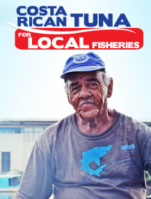
FECOP Marine Biologist Marina Marrari plans to integrate new NASA PACE satellite technology into FECOP’s Smart Fishing App PezCA
FECOP already uses NASA satellite data in it’s new Smart Fishing App PezCA and now plans to integrate the new PACE data which helps monitor the health of the oceans for improved decision making
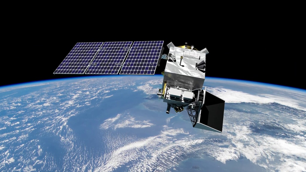
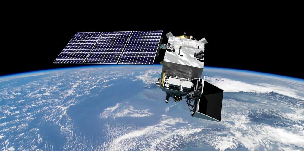
NASA’s Plankton, Aerosol, Cloud, ocean Ecosystem (PACE) satellite mission, planned for launch no earlier than 2023, will give an unprecedented view of Earth’s oceans to inform water resources, air quality and health, climate, disasters, and ecological forecasting decision making. With so many potential uses, the first PACE Applications Workshop was held in September 2020 to bring stakeholders and scientists together to discuss future opportunities to use PACE data.
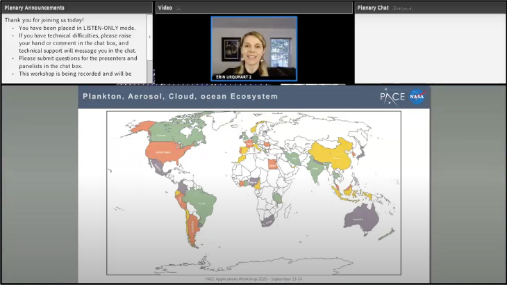
“The goal of the PACE Applications Program is to foster new partnerships and out-of-the-box thinking that will generate inventive solutions that aid society,” said Erin Urquhart, applications coordinator for the PACE mission. “These efforts support the NASA Applied Sciences Program, and we work with scientists, policy makers, public health practitioners, and industry professionals to apply PACE data to practical societal needs.”
The two-day workshop encouraged open collaboration from individuals and organizations from diverse backgrounds. Nearly 400 participants from industries like resource management, decision-making, public health applications, and policy analysis tuned in to learn more about how PACE data can be used to support decisions making – and to bring their own ideas to the table. PACE will provide “hyperspectral” ocean color data to help better understand how the ocean and atmosphere exchange carbon dioxide and how aerosols might fuel phytoplankton growth near the surface. This level of detail can bring new clarity to murky waters.
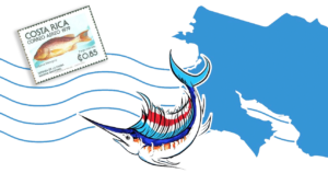
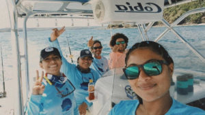
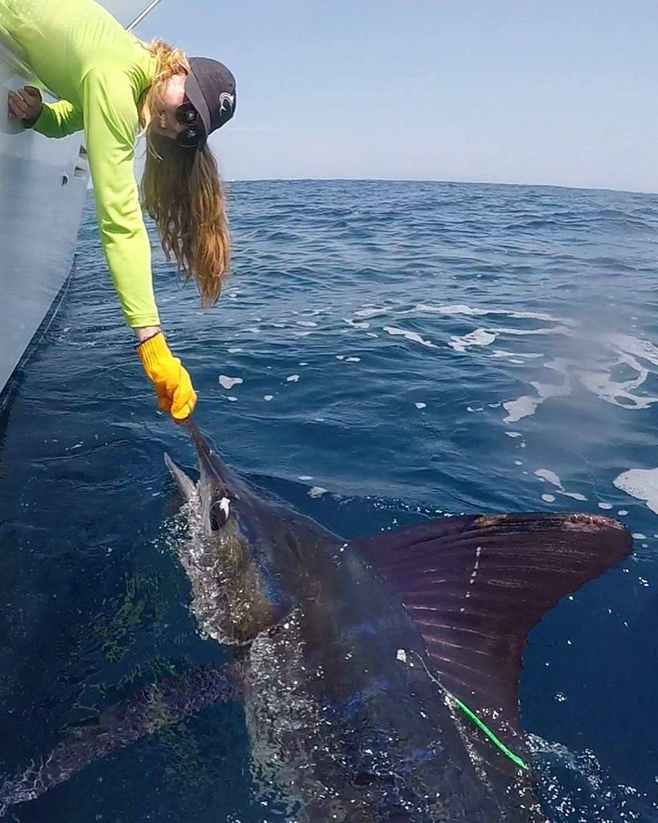
Marina Marrari, an oceanographer in Costa Rica, plans to integrate PACE data into a mobile smart fishing app that she has built to support local fishermen and recreational anglers. Marina’s app, called PezCA, provides near-real-time satellite data, including ocean temperature, chlorophyll-a, currents, ocean depth, tide forecasts, moon phase, and more, to help eco-tourism planners and recreational anglers identify where fish and marine mammals are most likely to be found.
“We’re aiming for inclusivity,” added Urquhart. “A user can be anybody. NASA’s data is here for everybody.”
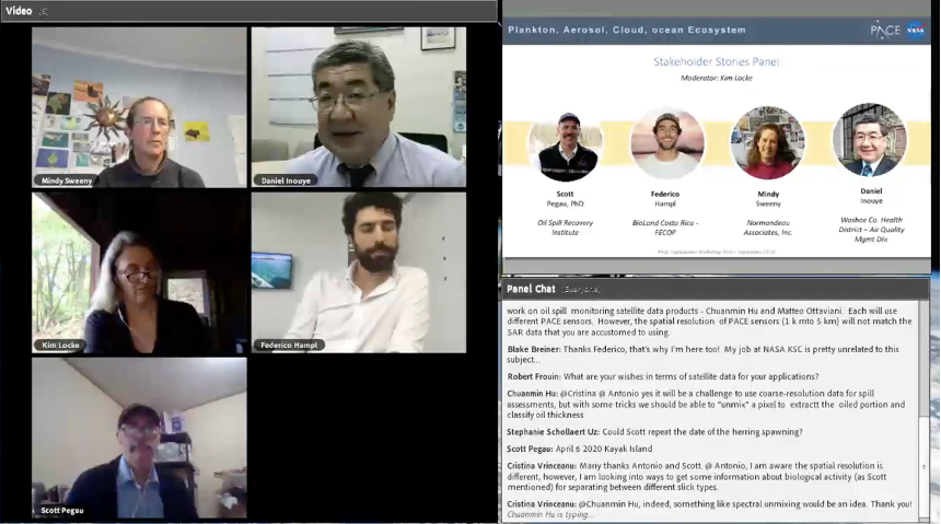
The PACE mission applications team plans to release a summary report from the workshop, highlighting key takeaways and opportunities for the future.
“One of our biggest realizations from the workshop is the need for more opportunities for discussions like these – there’s a huge demand for this sort of collaboration and information sharing,” said Joel Scott, PACE Applications Deputy Coordinator. “This is just the beginning of our trans-disciplinary dialogue.”