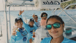
FECOP’s free fishing app PezCA could give pro anglers the edge in competitive sport fishing in Central America
By Bob Smith published for www.pelagic.zone
The only constant in life is change, and life on the water chasing billfish and other pelagics is no exception. While favorable sea and fishing conditions may hold for awhile, they are bound to shift for oceanographic and metrological reasons beyond our comprehension. When this happens, the fish scatter. And scorecard entries drop. Just like that.
Dock intel, pre-fishing, frenemy advice and near and not-so-near history may be a great start. But is all of this enough when numbers need to get on the board? Maybe not. The difference between this year’s first and second place in Leg II of the Signature Triple Crown was two sailfish. 170 were caught between the top two boats.
Before I make the case for paying closer attention to sea surface temperature, chlorophyll concentration and currents overlayed on bathymetry, like the free app provided by PezCA, Centro America, I need to disclose two things. First, I am primarily a Mid-Atlantic tuna fisherman and not a billfishing expert, and second, I am an observer with the IGFTO.
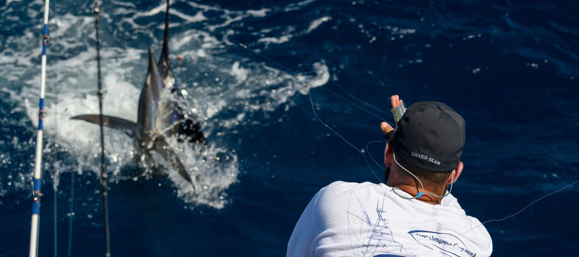
As an IGFTO observer, my job is to keep my mouth shut, stay out of the way and accurately record releases according to tournament and IGFA rules. I am also very observant when it comes to the minutest of details involving the hunt, down to eyeing the cooper wire loops that cinch the gills of the ballyhoo and properly keel the egg sinker. In other words, I study the best teams in the world.
As a South Jersey tuna fisherman, my buddies and I often run a miserable 12:30 a.m. overnight trip to hit a productive canyon by greylight. If we want Bigeye, the window of opportunity — before the daylight drives them to the deep — is limited. After crawling through the dark at 18 knots over four hours to reach the spot, we need some assurance, besides stale reports.
Greater assurance is provided by sat data, which we study up until the time we toss lines. It’s a long, expensive trip, so we are looking for structure, over structure, over structure — the trifecta — if we can find it. Ocean currents data is predictive of future conditions. Locate the canyon edges and look for color and temps break. Find all three, and it will likely produce.
Which is why I was shocked to hear that some captains shrug off sat charts down in the Eastern Central Pacific region — the Pacific side of Central America.
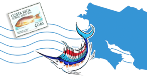
In Costa Rica, just about every boat in the Los Suenos fleet has a $125,000 Furuno Omni Sonar, which is great if your boat is within 1,500 feet of the target. The PezCA app is free and uses the latest NASA technology. Dr. Marina Marrari, who worked for NASA and is now the Executive Director of FECOP, developed the free app. It might get you closer to the fish, so you can better use the Omni.
Not sure this is legit? Check out the NASA site. Not sure sat data might be underutilized in Central American eastern Pacific waters? Continue to read, and let’s take a look at what happened in Leg II of the Signature Triple Crown this year.
On Day One and Two of Leg II of the Signature, the vast majority of boats headed southwest at daybreak. They rounded Cabo Blanco, after cutting across the turbulence of the Gulf’s mouth from Herradura and settled into to the waters southeast of Samara — waters that have some of the most dramatic structure within a stone’s throw of the beaches.

The above area produced the Day One top boat with 39 Sailfish. But things changed on Friday, Day Two. The water seemed a little greener, not as sparkling as the day before, and the numbers showed. Some Day One top boats were left with cold pickings on Day Two, if they fished the Day 1 hotspot. Meanwhile, other boats headed southeast on Day Two, toward the area closer to Quepos shown below

On Day 3, I observed on a boat fishing in the waters above. So was just about every other boat in the contest. The sat data was showing an elliptical body of blue water encircled by green water. While I has not privy to real-time location and the app data, I witnessed the greatest number of Sails being caught on the blue side of where the two bodies of water met.
How could I tell without instruments? The ocean surface was as rough as an El Salvador inlet. The surface was ripping and whitewater was breaking. The meeting of the waters created a near-impenetrable barrier for the bait to escape predation. If I were fishing that edge, I would be looking for the most promising bottom structure.
I have to wonder why the top boats moved to the southeast of Herradura on Day 2. West of Cabo Blanco produced on Day 1, but frizzled on Day 2 — probably because of water color. On Day 3, everyone was southeast. Could sat data have picked up the color southeast of Samara, at best a blend of blue and green, between the first and second days? Could sat data have changed the final results — separated by narrow margins — of the Signature Triple Crown?
I have no idea. But I do know that understanding color, currents and temps over bottom structure is my key to locating the targets when fishing the Mid-Atlantic canyons. I also know that I would be testing PezCA ocean services if I made a living fishing in Central America.